
ALASKA HIGHWAY
Dawson Creek, BC
to Delta, Alaska
YUKON
Map with
Hwy links
Kluane Lake area
Campbell Hwy
Dempster Hwy
Dawson City
Klondike Hwy-North
Klondike Hwy-South
Haines Road
Nahanni Range Rd
Silver Trail
South Canol Road
Top of the World
Hwy
BEARS
Grizzly
/ Black
WILDLIFE
BIRDS
NORTHERN LIGHTS
ALASKA
Taylor Hwy
Denali National Park
McCarthy Road
Richardson Hwy
and more
BRITISH COLUMBIA
Cassiar Highway
Liard Hot
Springs
PLAN YOUR TRIP
Planning Links
Campgrounds/POIs
YUKON sights
2020
2019
2017
2016
2015
2014
2013
2012
2011
RV BLOGS
Vancouver Island
to Yukon & Alaska
2010 Aug & Sept
2009 September
2008 June
2007 September
2001 December
2000 August
1998 December
1997 September
1993 September
Granisle to Fort St James BC
15 September 2009 - Tuesday
We enjoyed a quiet night at Red Bluff provincial park campground. No other folks in the campground. The day was starting a bit overcast; a recurring theme this year.
Before leaving the area we explored Topley Landing, wondering if it might have more people than Granisle Not many more, it seemed. There was a commercial campground in Topley Landing near the pub, but it didn't have any folks camping there either.
So we hit the road, heading south back towards Hwy 16. The day was uneventful and the picture-taking opportunities were limited. For lunch, we pulled onto the Fish Lake Forest Service Road just south of Fort St James on Hwy 27. The GPS kept us on track.
Paarens Beach Provincial Park was our first destination, to see if it was open. It was, but with limited facilities. We also explored the town and area.
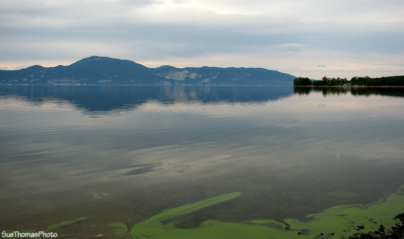
Stuart Lake viewed from the boat launch at
Sowchea Bay, looking towards Fort St James
We logged 280 km between Red Bluff Provincial Park and Paarens Beach Provincial Park.
16 September 2009 - Wednesday
This morning it was time to make some miles towards Vancouver Island. Figured the Lac La Hache provincial park campground would be open, so made that our destination for the day, departing Fort St James at 9:30 a.m. after a good dog walk. The highway into Fort St James has diverse scenery. Beetle-kill trees, farmland, ranches and marshes. A clerk at the gas station in Fort St James told us the beetles had toppled the economy in the area.
Farmland along Hwy 12 between Hwy 16 and Fort St James
Back on busy Hwy 16 headed towards Prince George. Our first taste of "civilization".

Highway through Prince George BC
Highway 97 was being upgraded. It is a busy route so 4-laning would be a nice update, especially when there are long lines of RVs, semi-trucks and weekend warriors all competing for space.
Southbound on Highway 97, south of Prince George
I apologize for the lack of pictures through this area. We have driven it so many times that I simply sat and relaxed while we buzzed on through. There are numerous rest areas, plenty of services, and a nice provincial park at Ten Mile Lake. This spot also makes a nice lunch stop.
We arrived in Lac La Hache at about 4:30 p.m., having logged 450 km for the day.