
ALASKA HIGHWAY
Dawson Creek, BC
to Delta, Alaska
YUKON
Map with
Hwy links
Kluane Lake area
Campbell Hwy
Dempster Hwy
Dawson City
Klondike Hwy-North
Klondike Hwy-South
Haines Road
Nahanni Range Rd
Silver Trail
South Canol Road
Top of the World
Hwy
BEARS
Grizzly
/ Black
WILDLIFE
BIRDS
NORTHERN LIGHTS
ALASKA
Taylor Hwy
Denali National Park
McCarthy Road
Richardson Hwy
and more
BRITISH COLUMBIA
Cassiar Highway
Liard Hot
Springs
PLAN YOUR TRIP
Planning Links
Campgrounds/POIs
YUKON sights
2020
2019
2017
2016
2015
2014
2013
2012
2011
RV BLOGS
Vancouver Island
to Yukon & Alaska
2010 Aug & Sept
2009 September
2008 June
2007 September
2001 December
2000 August
1998 December
1997 September
1993 September
Hwy 99 from Pemberton to BC Ferry to Vancouver Island
18 September 2009 - Friday
Today was the last day on the road. The highway between Whistler and Vancouver would be interesting though, due to the many upgrades in preparation for the winter Olympics in February 2010. We hit the road, destined for Horseshoe Bay.

Highway 99 southbound soon after departing Nairn Falls Provincial
Park near Pemberton
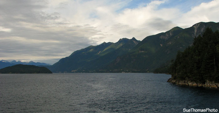
South of Whistler and Squamish the scenery to the west makes a dramatic change, with the Squamish Harbour and Howe Sound visible to the west.
View from Highway 99 southbound
Highway 99 was in great shape, with new asphalt and paint lines guiding the way. There is also lots of no-post concrete barrier edging the route and dividing the highway.

Hwy 99 southbound, nearing Horseshoe Bay

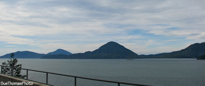
Looking north at Bowyer Island from near Horseshoe Bay
Looking back north at Hwy 99 from Squamish
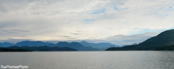
Friday afternoons can be VERY busy at the ferry terminals. The ferries were running late today and we were told we had a couple of hours to wait. As usual, the loading was uneventful. The scenery as the ferry departs from the terminal is very nice at this location. Lots of mountains, rocks and trees! Oh, and water too.

Looking north from BC Ferry

Coastline viewed from BC Ferry
Passing another ferry is a common occurrence. On the Tsawwassen-Swartz Bay route the ferries usually sneak by each other in Active Pass, which adds to the excitement.
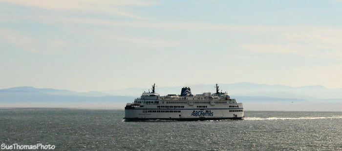
A BC Ferry viewed from a BC Ferry!
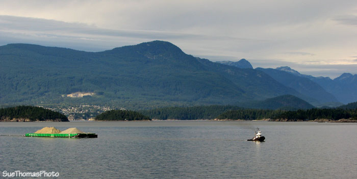
Keep the eyes open for whales, dolphins, barges ...

Barge at work, viewed from BC Ferry
Looking north from BC Ferry in the Strait of Georgia
Ocean traffic viewed from ferry
Mount Baker was out in blue skies, but air wasn't exactly clear. In the picture below, the smog of the Lower Mainland is evident.

Mount Baker viewed from BC Ferry between Horseshoe Bay and Departure
Bay
And so our 2009 trip wraps up, back on Vancouver Island. Time to start planning for 2010!