
ALASKA HIGHWAY
Dawson Creek, BC
to Delta, Alaska
YUKON
Map with
Hwy links
Kluane Lake area
Campbell Hwy
Dempster Hwy
Dawson City
Klondike Hwy-North
Klondike Hwy-South
Haines Road
Nahanni Range Rd
Silver Trail
South Canol Road
Top of the World
Hwy
BEARS
Grizzly
/ Black
WILDLIFE
BIRDS
NORTHERN LIGHTS
ALASKA
Taylor Hwy
Denali National Park
McCarthy Road
Richardson Hwy
and more
BRITISH COLUMBIA
Cassiar Highway
Liard Hot
Springs
PLAN YOUR TRIP
Planning Links
Campgrounds/POIs
YUKON sights
2020
2019
2017
2016
2015
2014
2013
2012
2011
RV BLOGS
Vancouver Island
to Yukon & Alaska
2010 Aug & Sept
2009 September
2008 June
2007 September
2001 December
2000 August
1998 December
1997 September
1993 September
Aishihik Road
19 October 2013 - Saturday
The bucket list included a drive to the abandoned Aishihik Airfield, a remnant of the Northwest Staging Route. Dad worked at Snag Airfield in the 1950s and had pictures of the Aishihik Airfield, so I wanted to see how it compared in present-day.
The airfield is 120 km in on a dirt road. Signs warn that the road is not maintained after the campground. Today's weather looked reasonable. A good day to go!
Topped up with fuel at the Otter Falls Cutoff lodge and headed on to the Aishihik Road at about 10 a.m. The weather wasn't looking grand as we headed north.
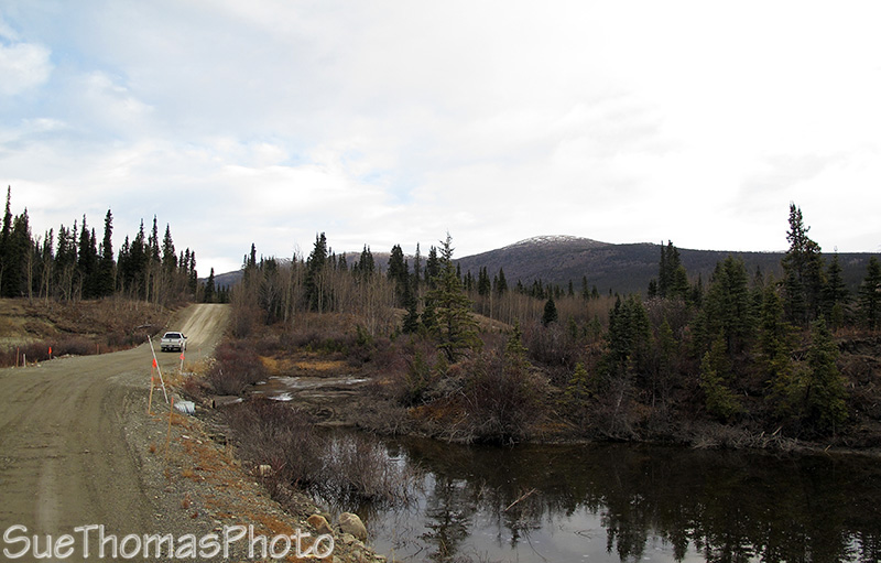
Wasn't long before we were tailing someone northbound
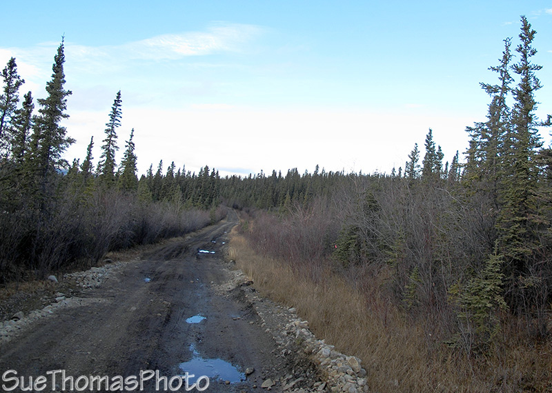
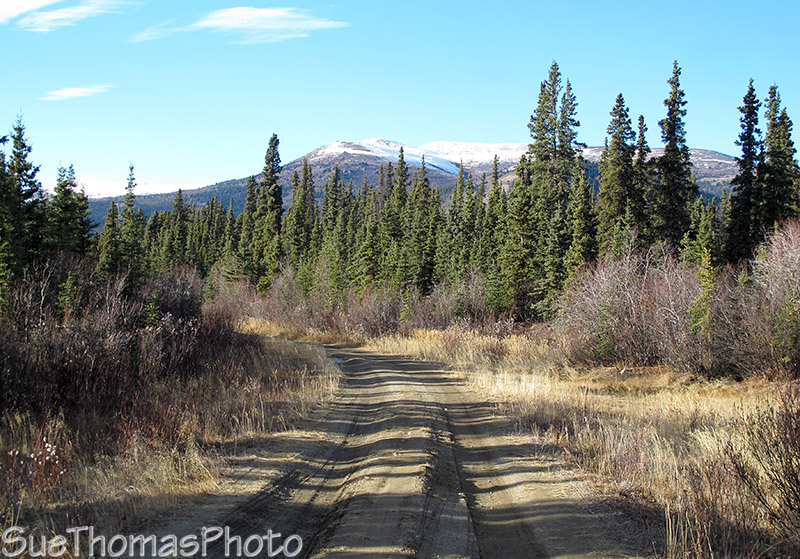
Road varies from good to bad to worse
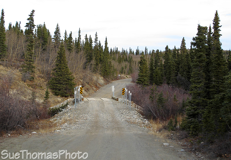
Bridges are single lane, some in better shape than others
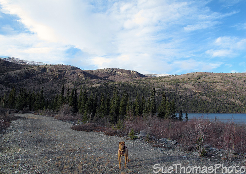
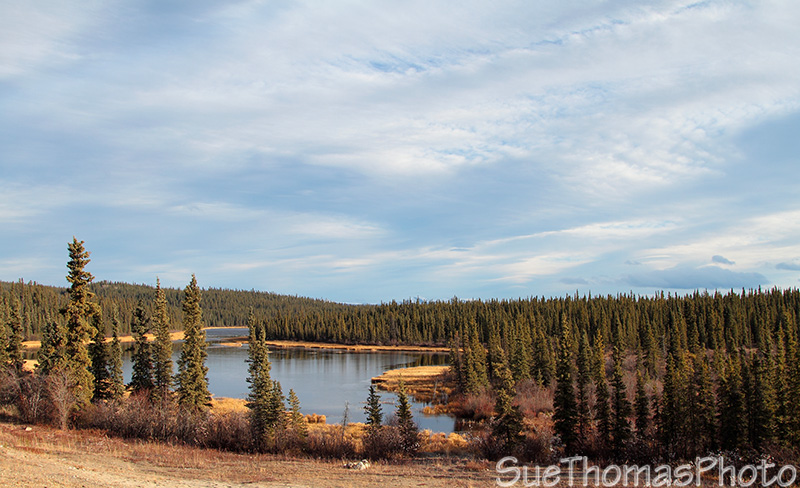
Stopped at the campground to stretch everyone's legs. Aishihik Lake
is to the right.
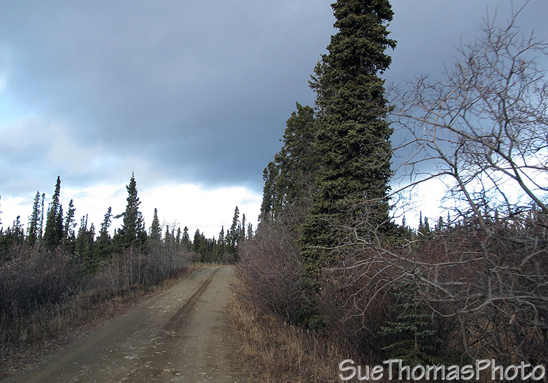
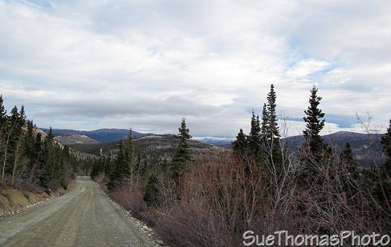
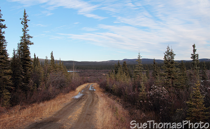
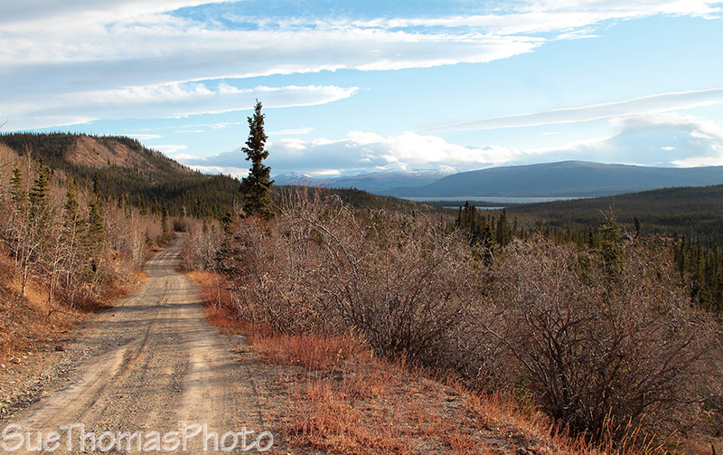
Aishihik Road narrows north of the campground
Rough gravel in places
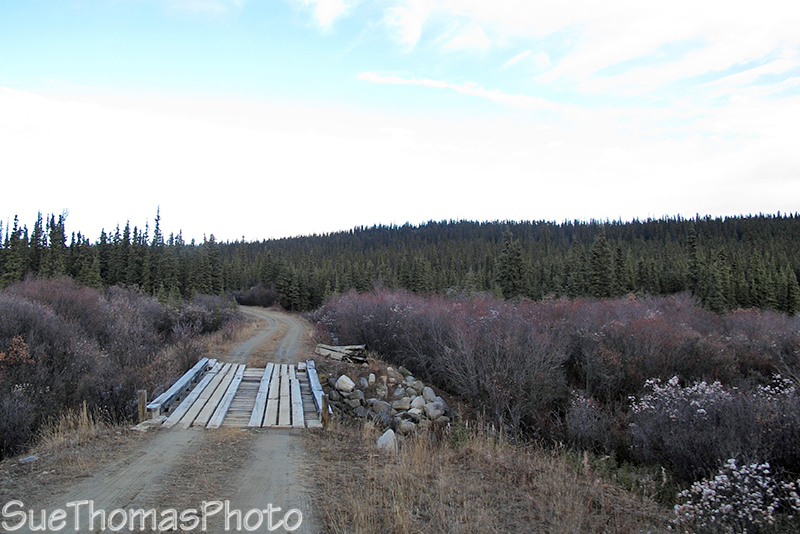
Rustic bridge
Slick mud ... in the deeper holes we were going sideways, even in
4-wheel drive
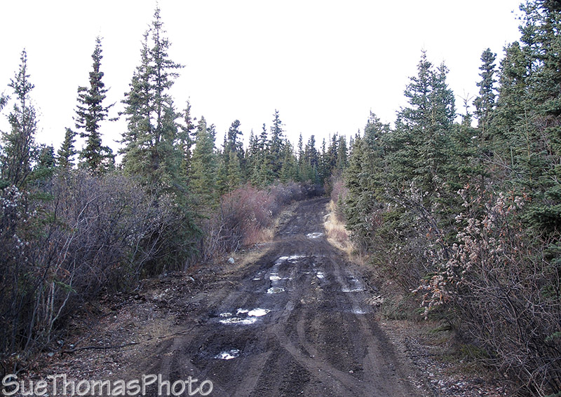
ICK!
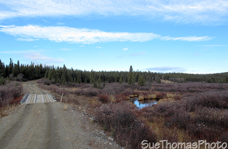
Another bridge, over calm water
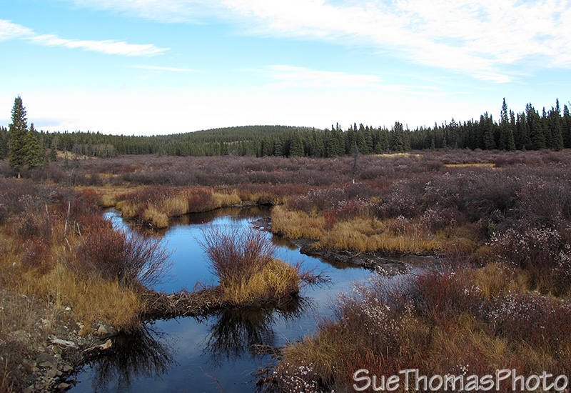
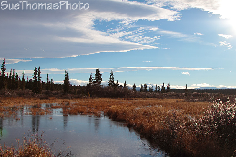
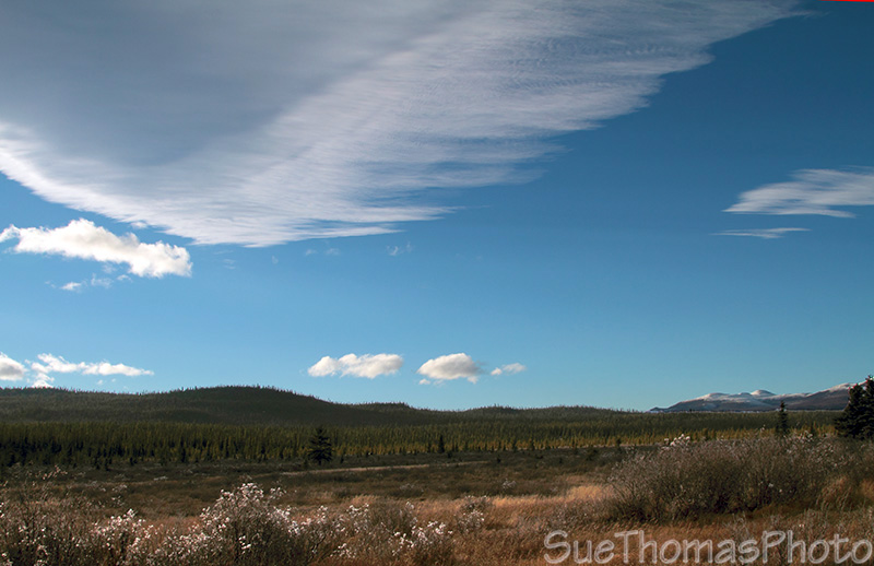
The marshes are nice this time of year
The sky cleared as we continued north. Met a conservation officer on his way out. Stopped and chatted a bit. The only hunting we were doing was with my camera!
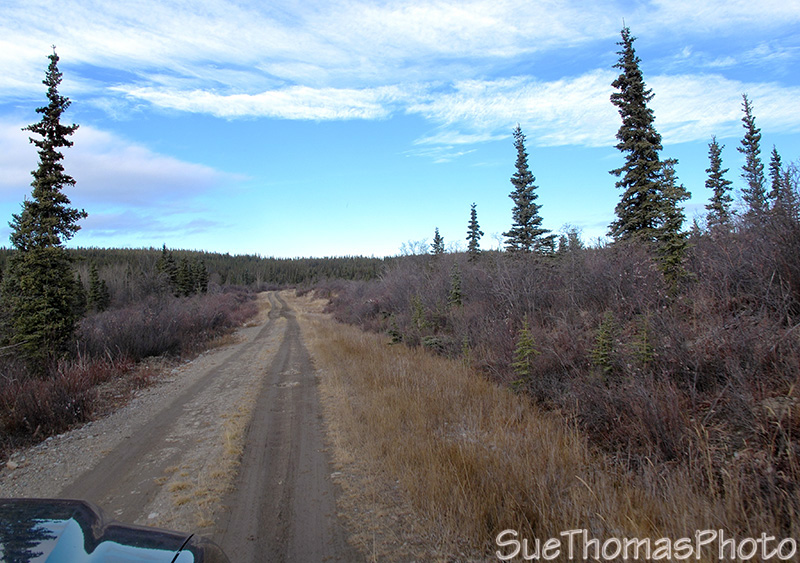
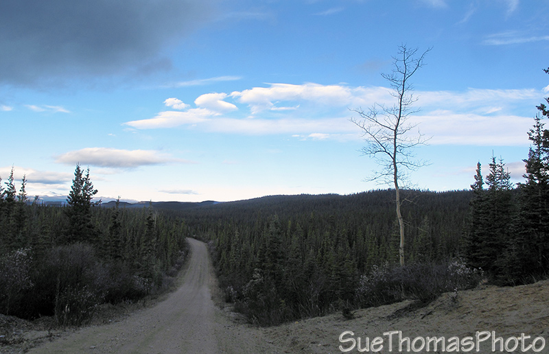
Narrow road again, still northbound
Nearing Aishihik Airfield
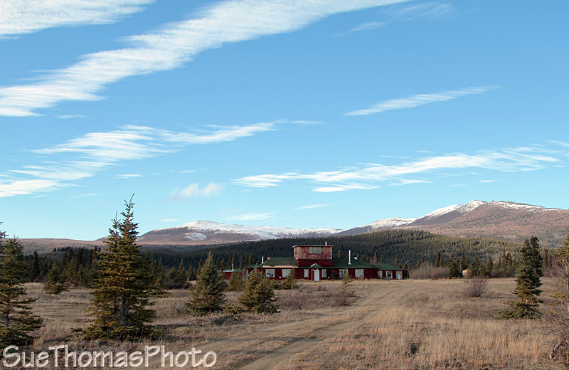
The old airfield control tower -- now belongs to the Champagne-Ashihik
First Nations
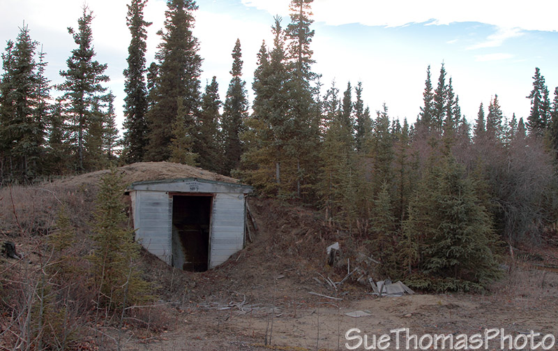
One of the historical structures
Heading back out, this on the north end of Aishihik Lake
Water wasn't too high
The conservation officers have a shack by here, very scenic spot
Looking west
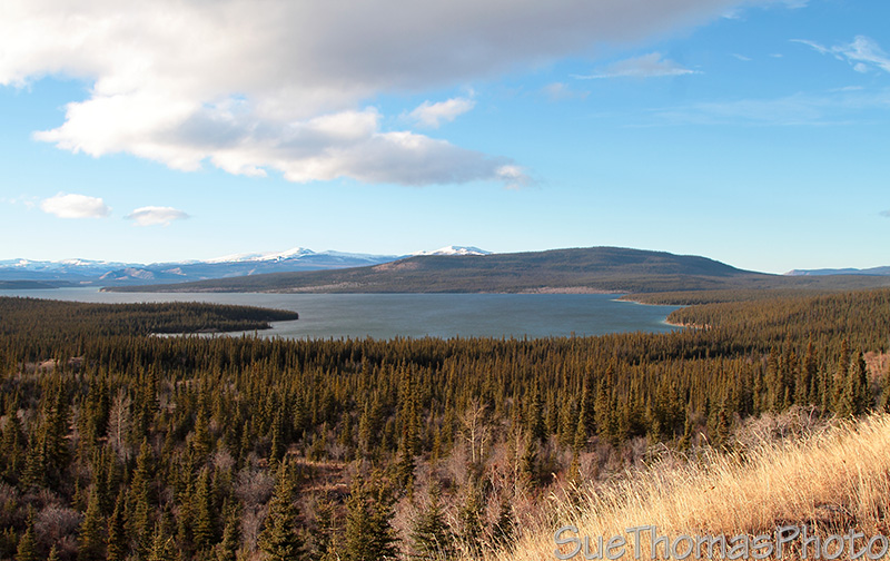
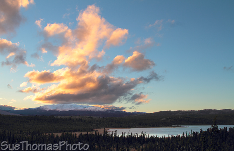
Looking northwest, back at Aishihik Lake
Aishihik Lake in the distance as we're southbound
It took four hours to drive in. Four hours to drive out. The sun was setting at 6:30 p.m. and we had at least still an hour to go to get out.
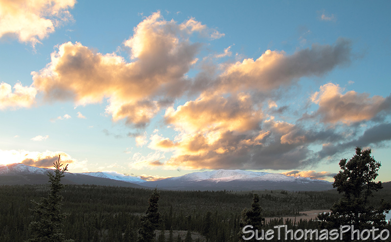
Setting sun on the mountains to the west
Lovely evening
We arrived at the Otter Falls Cutoff lodge at 7:45 p.m. It was a
relief to be off the rough Aishihik Road. Ten hours of being jostled
around was enough!
Fueled up and headed home.