
ALASKA HIGHWAY
Dawson Creek, BC
to Delta, Alaska
YUKON
Map with
Hwy links
Kluane Lake area
Campbell Hwy
Dempster Hwy
Dawson City
Klondike Hwy-North
Klondike Hwy-South
Haines Road
Nahanni Range Rd
Silver Trail
South Canol Road
Top of the World
Hwy
BEARS
Grizzly
/ Black
WILDLIFE
BIRDS
NORTHERN LIGHTS
ALASKA
Taylor Hwy
Denali National Park
McCarthy Road
Richardson Hwy
and more
BRITISH COLUMBIA
Cassiar Highway
Liard Hot
Springs
PLAN YOUR TRIP
Planning Links
Campgrounds/POIs
YUKON sights
2020
2019
2017
2016
2015
2014
2013
2012
2011
RV BLOGS
Vancouver Island
to Yukon & Alaska
2010 Aug & Sept
2009 September
2008 June
2007 September
2001 December
2000 August
1998 December
1997 September
1993 September
Haines Road to Kluane Lake, Yukon
17 May 2015 - continued from the morning
After leaving our lunch stop, we continued north to return to Yukon.
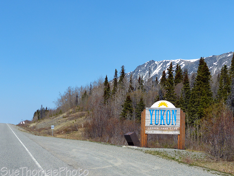
Yukon - Larger than Life sign
Every time we approach Dezadeash Lake northbound, I take a picture...
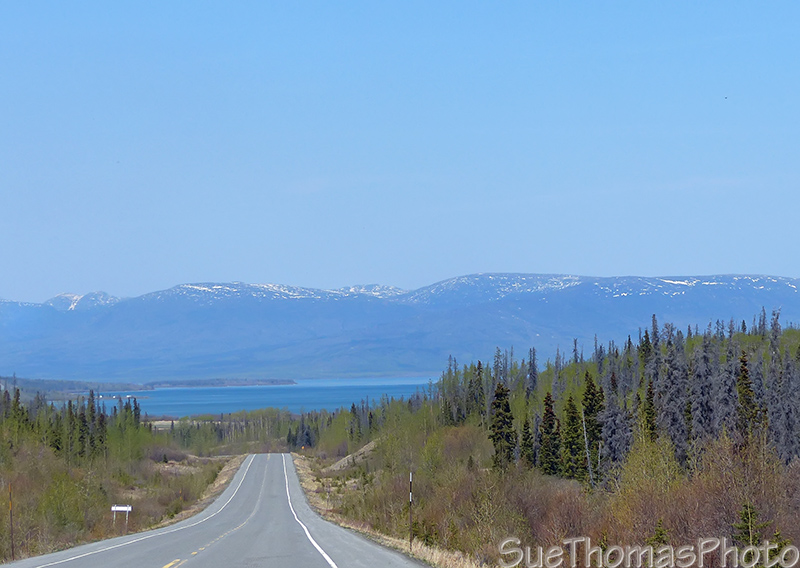
Dezadeash Lake
The ice was completely off Dezadeash Lake. It was beautiful today! No white caps!
A calm Dezadeash Lake
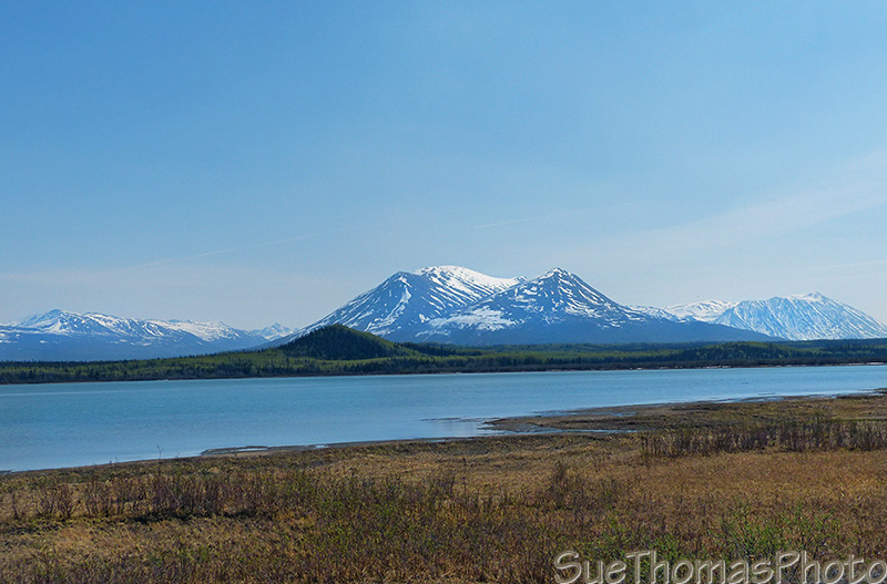
Approaching Haines Junction...
Paint Mountain in the distance with Haines Junction on the left
At the junction in Haines Junction, we turned left.
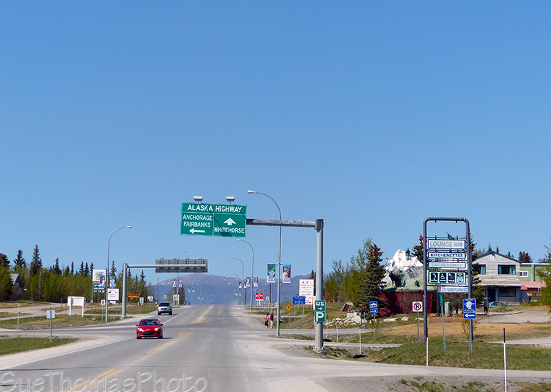
Turning left to go to Kluane Lake on the Alaska Highway
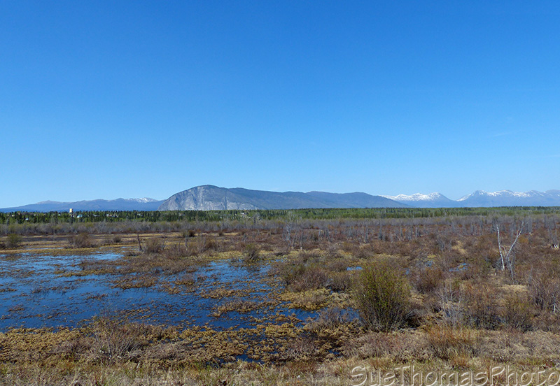
There's many, many pictures of the area between Haines Junction and Kluane Lake on my site here. Today, I just sat back and enjoyed the scenery until we arrived at Kluane Lake.

Wind whipping up the sand from the Slims River over on to Kluane
Lake
The wind and sand storm were amazing! The most extensive that I have seen.
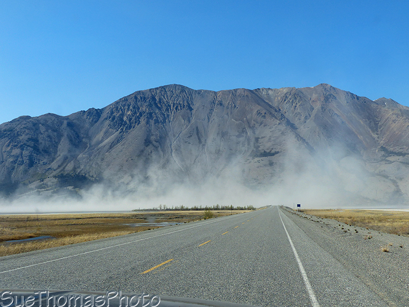
Approaching Sheep Mountain with the sand blowing off the Slims River
on the left
Around the lake and looking back at the sand storm
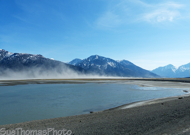
We pulled into a favourite spot and settled in. The ice was still on the north end of the lake but gone from the south end.
Looking across Kluane Lake at the ice
Steve tried some fishing...no luck! Last fall he caught a nice trout here.

Steve fishing

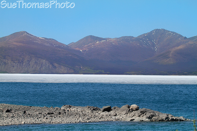
The ice in the distance, looking north
The afternoon was warm and comfy.
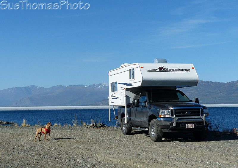
Kodi taking care of things
I found this survey marker from 1943, when the Alaska Highway was constructed.

1943 Survey Marker - Alaska Highway
We had planned to stay the night. BUT I had forgotten about how quickly the sun would disappear behind the mountains. The air cooled quickly and it was still early in the afternoon. So we headed out again. Ended up driving home, just a couple of hours away.
Previous page: 17 May 2015 AM
Next page: 10 June 2015