
ALASKA HIGHWAY
Dawson Creek, BC
to Delta, Alaska
YUKON
Map with
Hwy links
Kluane Lake area
Campbell Hwy
Dempster Hwy
Dawson City
Klondike Hwy-North
Klondike Hwy-South
Haines Road
Nahanni Range Rd
Silver Trail
South Canol Road
Top of the World
Hwy
BEARS
Grizzly
/ Black
WILDLIFE
BIRDS
NORTHERN LIGHTS
ALASKA
Taylor Hwy
Denali National Park
McCarthy Road
Richardson Hwy
and more
BRITISH COLUMBIA
Cassiar Highway
Liard Hot
Springs
PLAN YOUR TRIP
Planning Links
Campgrounds/POIs
YUKON sights
2020
2019
2017
2016
2015
2014
2013
2012
2011
RV BLOGS
Vancouver Island
to Yukon & Alaska
2010 Aug & Sept
2009 September
2008 June
2007 September
2001 December
2000 August
1998 December
1997 September
1993 September
North Klondike and Top of the World Highways, Yukon
28 June 2015 - Sunday
The morning was dampish but not too bad overall. After our dog walk, we hit the road northbound to Dawson City, which was only 160 km from our campsite at Moose Creek.

A bit of rain on the highway, this looking northward
The rain cleared a bit, which was a good thing. There were numerous construction zones with gravel sections that would be muddy when wet.

A Holland America tour bus headed south while I drive northward
There's a nice rest area by Gravel Lake. Good place to stretch the legs.
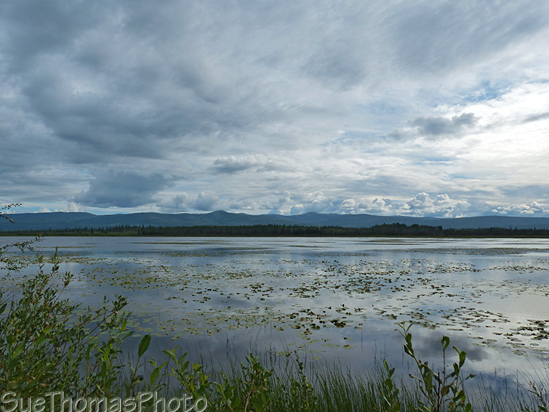
Gravel Lake alongside the North Klondike Highway
There was a busy wildfire season in early June. The weather was dry and hot. The North Klondike Highway was closed for a short while when a fire burned nearby the highway.

Freshly burned area alongside the North Klondike Highway near the
Flat Creek area
Soon we were near the junction of the Dempster Highway. We filled with fuel at the junction because it is significantly more affordable than in Dawson City.
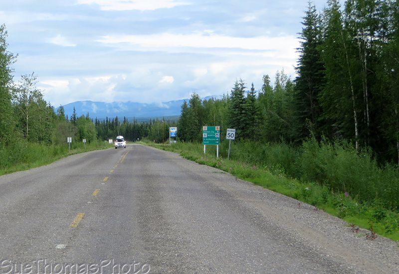
Approaching the Dempster Highway junction
In Dawson City we picked up our niece and then continued west across the Yukon River and up the Top of the World Highway. We planned to camp there overnight at a favourite spot, then return to Dawson tomorrow and continue up the Dempster.

Westbound on the Top of the World Highway
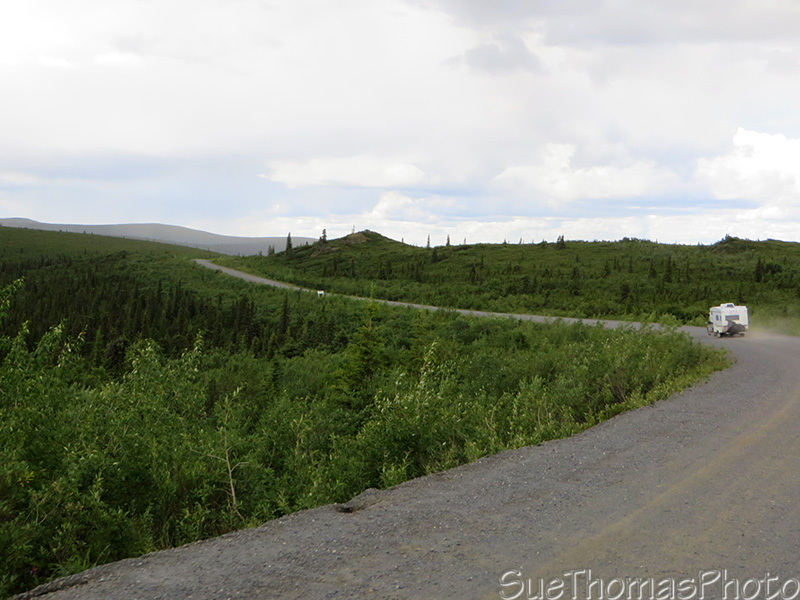
Continuing westward on the Top of the World Highway

Distant rain showers and thunder storm
It wasn't too long before we arrived at our favourite spot to camp along the highway.
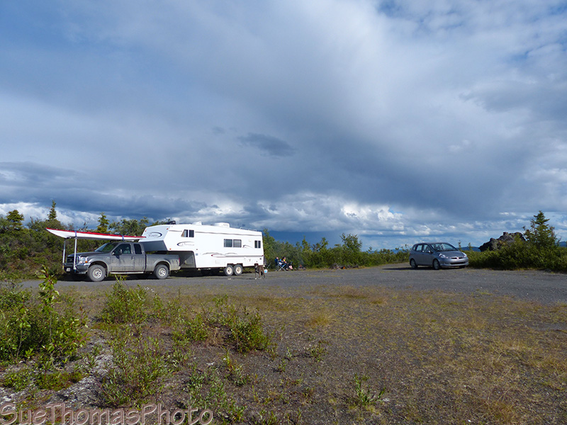
Camping spot along the Top of the World Highway
There were numerous thunderclaps and the storms blew by without getting us wet. Mother Nature put on quite a show though!
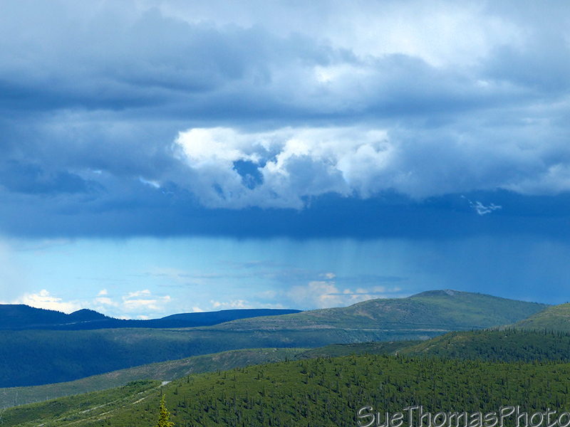
Thunder storm in the distance. That's the highway in the foreground
and in the distance
Later in the evening we went for a dog walk across the hill tops.
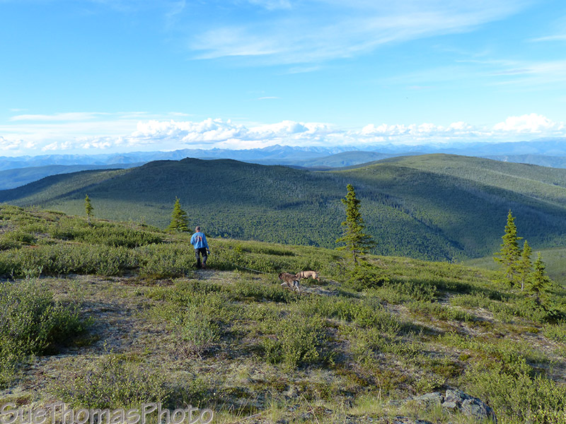
Hiking with the dogs
The border crossing is closed in the evening, so it was a quiet night on the mountaintops. Very relaxing around the campfire!
Previous page: 27 June 2015
Next page: 29 June 2015