
ALASKA HIGHWAY
Dawson Creek, BC
to Delta, Alaska
YUKON
Map with
Hwy links
Kluane Lake area
Campbell Hwy
Dempster Hwy
Dawson City
Klondike Hwy-North
Klondike Hwy-South
Haines Road
Nahanni Range Rd
Silver Trail
South Canol Road
Top of the World
Hwy
BEARS
Grizzly
/ Black
WILDLIFE
BIRDS
NORTHERN LIGHTS
ALASKA
Taylor Hwy
Denali National Park
McCarthy Road
Richardson Hwy
and more
BRITISH COLUMBIA
Cassiar Highway
Liard Hot
Springs
PLAN YOUR TRIP
Planning Links
Campgrounds/POIs
YUKON sights
2020
2019
2017
2016
2015
2014
2013
2012
2011
RV BLOGS
Vancouver Island
to Yukon & Alaska
2010 Aug & Sept
2009 September
2008 June
2007 September
2001 December
2000 August
1998 December
1997 September
1993 September
Tombstone Mtn Campground to the Arctic Circle, Yukon
30 June 2015 - Tuesday
Some hazy cloud overhead this morning. After unhooking the fifth wheel, we headed north on the Dempster, determined to make it to the Arctic Circle and back before dark! Well, actually, there is no dark this time of year, so we could drive all night if need be.
We left the campground at 8:30 a.m. with a slightly overcast sky.
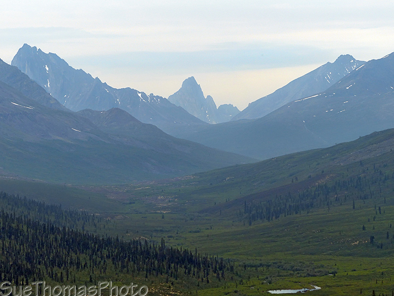
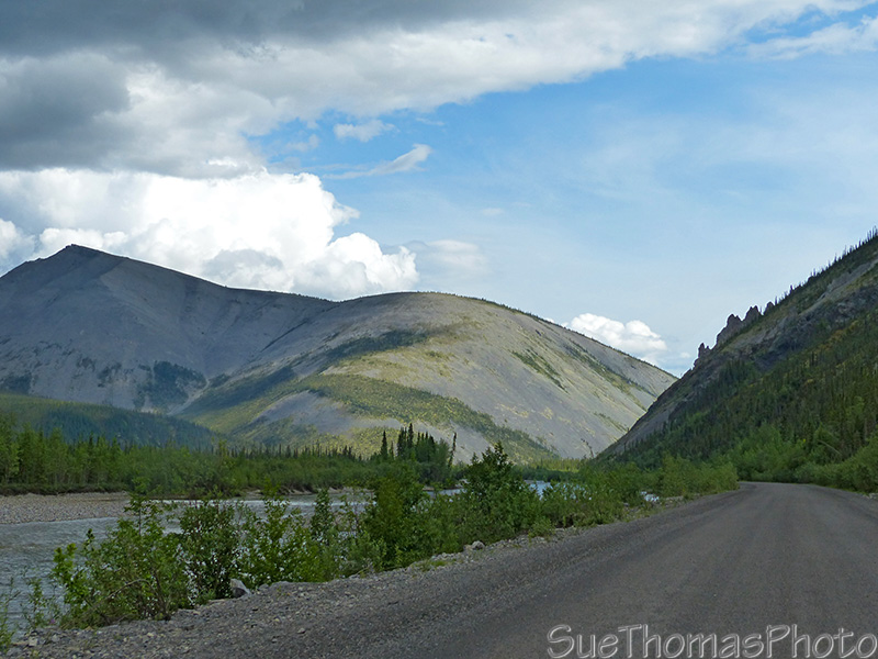
North Klondike River with Tombstone Mountain in the distance - N64.52324° W138.24554°
The haze was a problem for photographs. Sigh...
Fortunately, I have some great
images of Tombstone Mountain from a previous trip.
A hazy Tombstone Mountain in the distance - N64.52325° W138.24554°
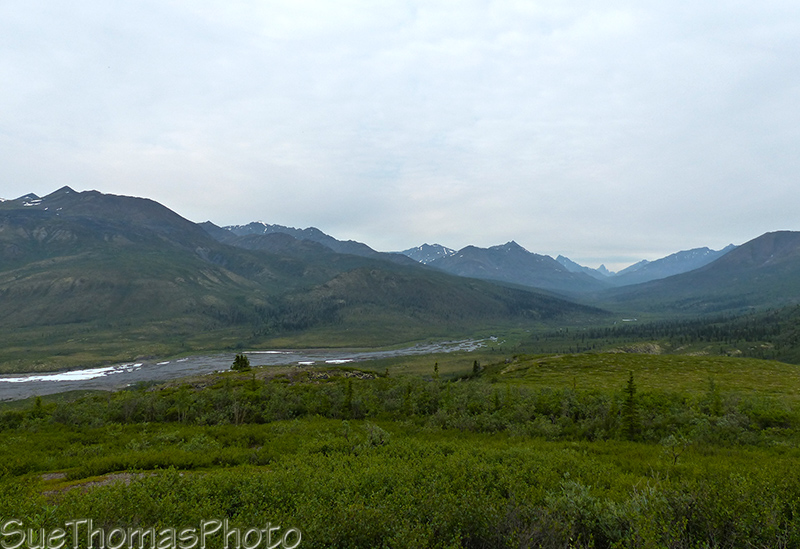
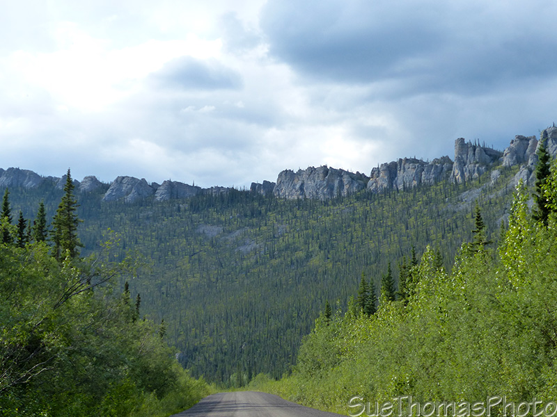
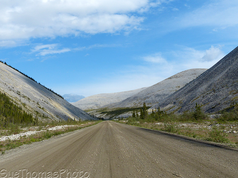
Scenic view along the Dempster Highway northbound - N64.59664° W138.30243°
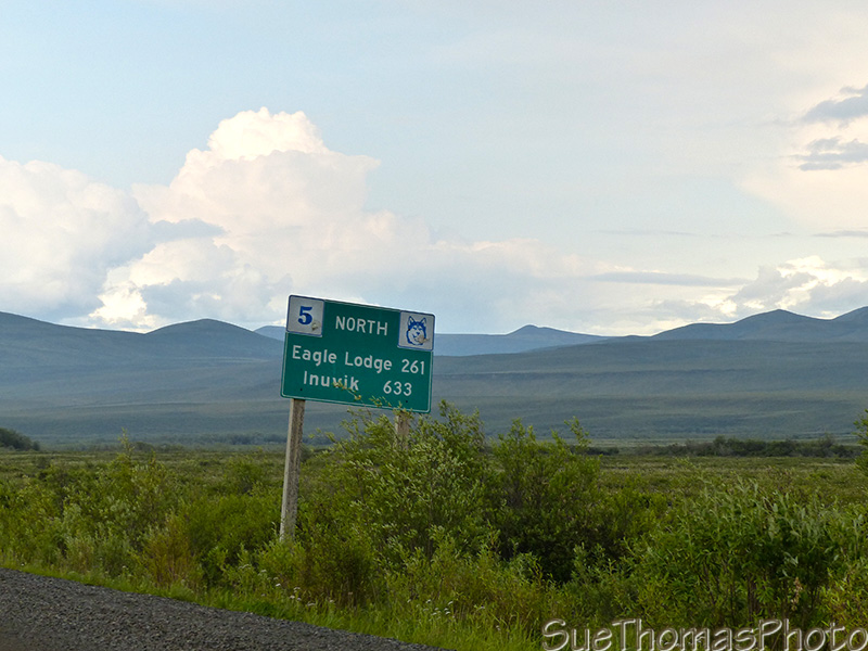
Sign indicating 261 km to Eagle Plains and 633 km to Inuvik, at approx. km 99 on the Dempster
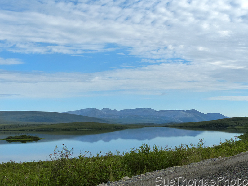
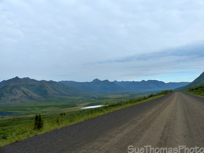
Two Moose Lake - N64.84951° W138.31786°
Dempster geology, approx. km 138 - N65.01403° W138.19815°
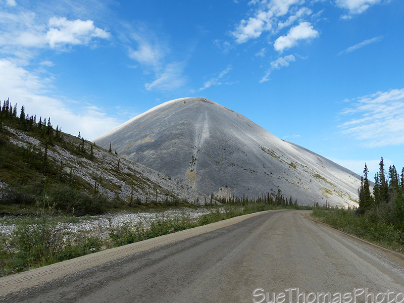
More rocks at approx. km157 - N65.07397° W138.35038°

Northbound - N65.07885° W138.36068°
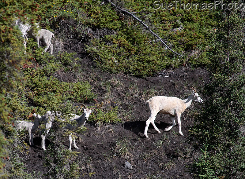
Dall Sheep on a hillside at approx km 173 - N65.20226° W138.32877°
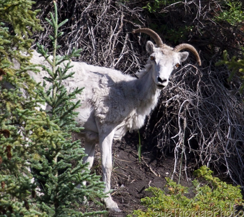
This Dall was quite curious about me - N65.20305° W138.32833°
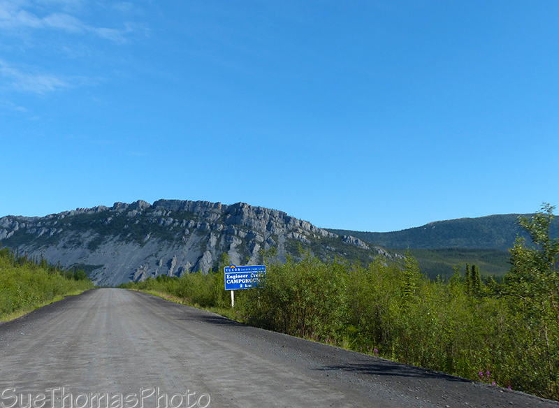
Sign for Engineer Creek campground - N65.35170° W138.26799°
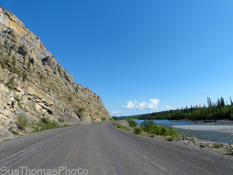
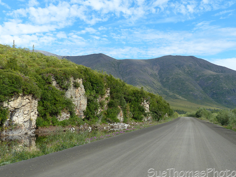
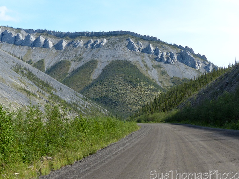
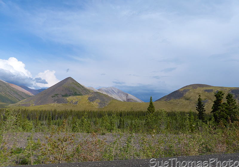
The Ogilvie River to the right with more Dempster geology on the
left - N65.58492° W138.17174°
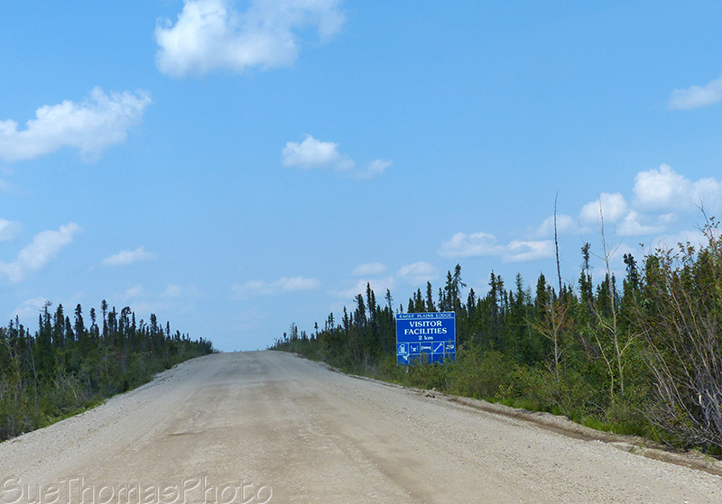
Only 2 km to Eagle Plains Lodge and lunch! - N66.36817° W136.72284°
At Eagle Plains we stopped to get lunch to go; figured we enjoy our nutrition at the Arctic Circle.
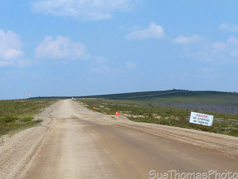
The Dempster Hwy is an airstrip at approx km 391 - N66.50866°
W136.55070°
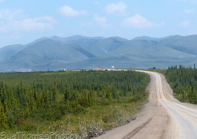
Approaching the Arctic Circle viewpoint and rest area - N66.56546°
W136.30786°
We arrived at the Arctic Circle, approx km 405, at about 2:15 p.m.
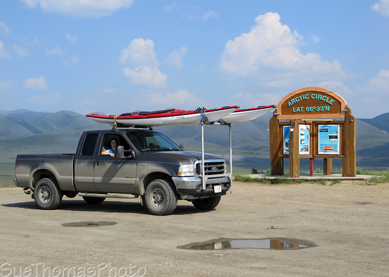
The truck at the Arctic Circle - N66.56548° W136.30780°

Little cars can do the Dempster too - N66.56548° W136.30780°
We ate our lunch at the picnic tables at the Arctic Circle. Very
enjoyable!
Then time to head back to the Tombstone Mountain campground!
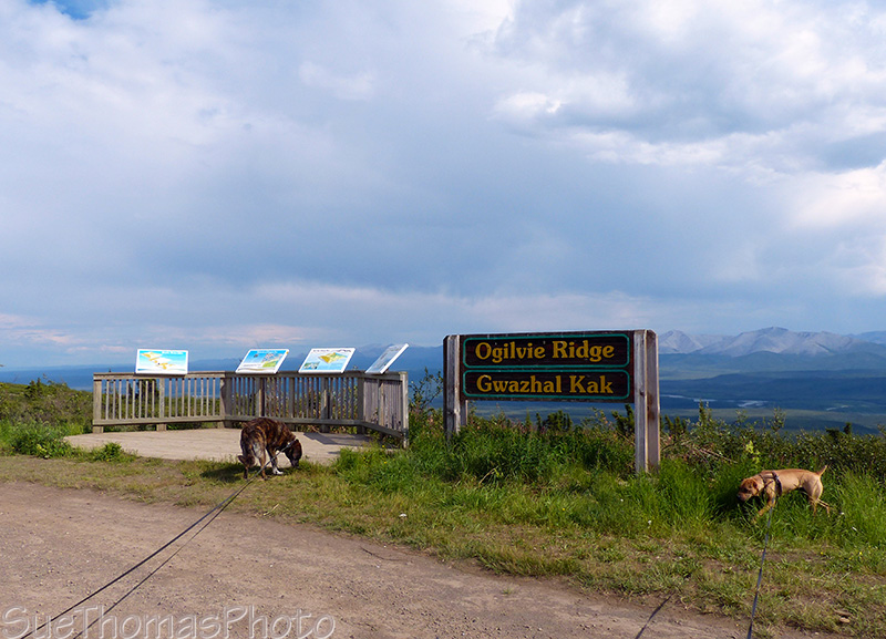
Back at the Ogilvie Ridge rest stop - N65.78476° W137.78062°
Scenic views southbound along the Ogilivie River again - N65.46515° W138.20279°
 More
geology - N65.40222° W138.27526°
More
geology - N65.40222° W138.27526°
Never a dull scene, the Ogilvie River was still to my left -N65.38318° W138.27804°
The river below runs red due to the minerals/rocks.
There is also a strong sulphur smell in the area.
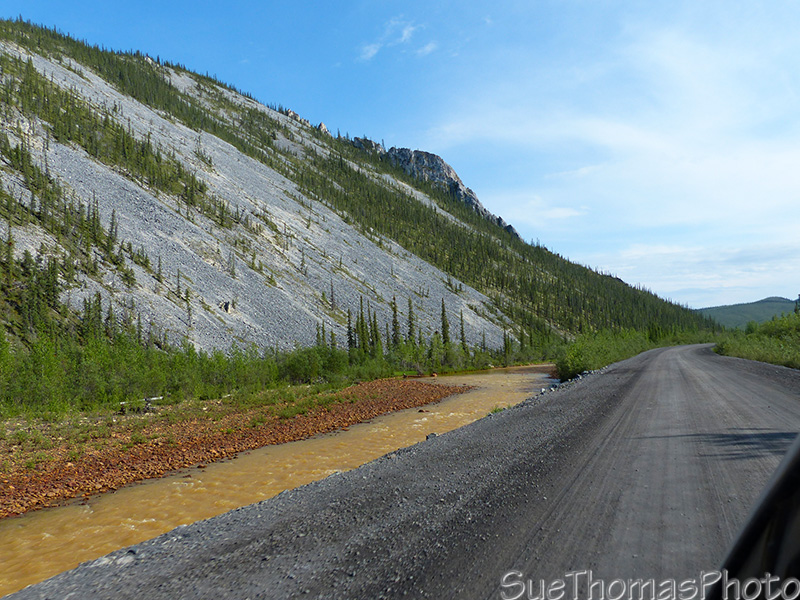
Red river alongside the Dempster Highway - N65.26895° W138.24587°
Rocky slopes - N65.06700° W138.31496°
Dempster colours about km 130 - N64.95492° W138.26019°
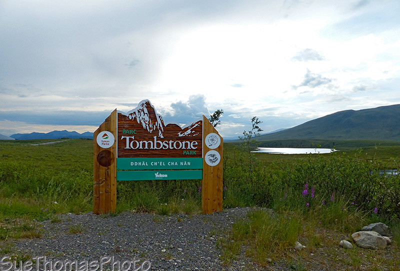
Tombstone Park sign near Chapman Lake - N64.84139° W138.34276°
We arrived at the Tombstone Mountain campground at 8 p.m. That was an 11.5 hour day on the road; 335 km Tombstone to the Arctic Circle and return another 335 km. The GPS says I was moving 5 hours to there and 4.5 hours return, plus our rest stops.
It was a nice evening. Looking forward to tomorrow, when we plan to explore more.
Previous page: 29 June 2015
Next page: 1 July 2015