
ALASKA HIGHWAY
Dawson Creek, BC
to Delta, Alaska
YUKON
Map with
Hwy links
Kluane Lake area
Campbell Hwy
Dempster Hwy
Dawson City
Klondike Hwy-North
Klondike Hwy-South
Haines Road
Nahanni Range Rd
Silver Trail
South Canol Road
Top of the World
Hwy
BEARS
Grizzly
/ Black
WILDLIFE
BIRDS
NORTHERN LIGHTS
ALASKA
Taylor Hwy
Denali National Park
McCarthy Road
Richardson Hwy
and more
BRITISH COLUMBIA
Cassiar Highway
Liard Hot
Springs
PLAN YOUR TRIP
Planning Links
Campgrounds/POIs
YUKON sights
2020
2019
2017
2016
2015
2014
2013
2012
2011
RV BLOGS
Vancouver Island
to Yukon & Alaska
2010 Aug & Sept
2009 September
2008 June
2007 September
2001 December
2000 August
1998 December
1997 September
1993 September
Dawson Creek to Tetsa River, Alaska Highway
14 September 2015 - Monday
Our chores were done in Grande Prairie - time to hit the road towards home. We looked forward to getting back on the Alaska Highway today!
Leaving the campground at Grande Prairie
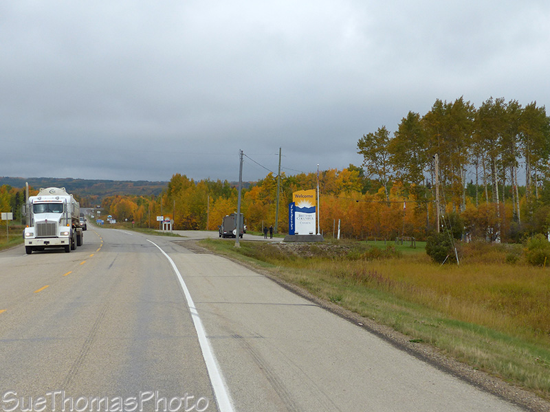
Welcome back to British Columbia!
Only 10 km to Dawson Creek and the start of the Alaska Highway
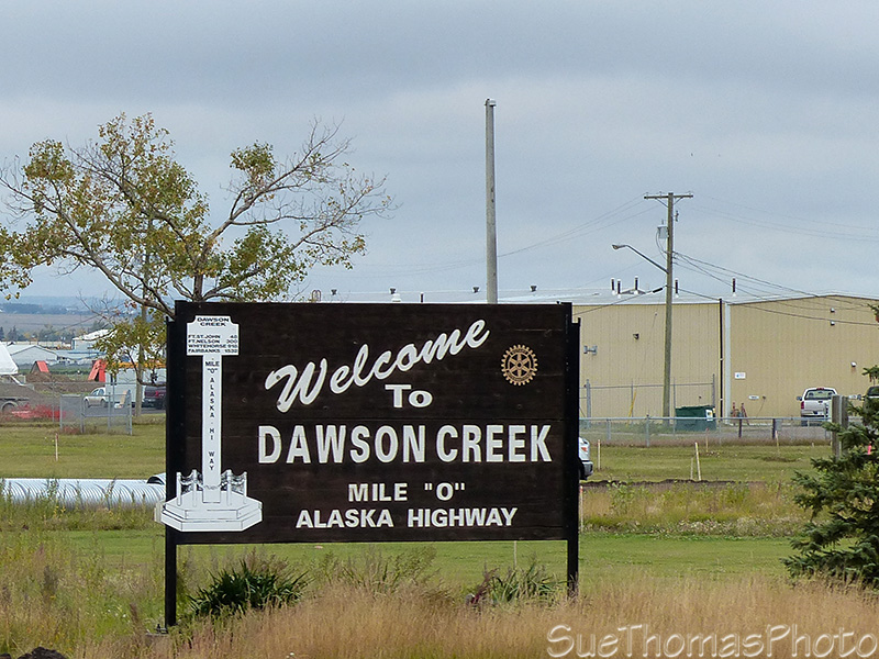
Welcome to Dawson Creek sign

The start of the Alaska Highway in Dawson Creek

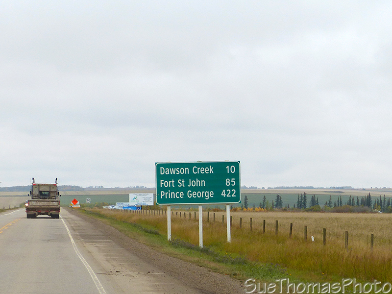
Back on the Alaska Highway and only 480 km to Fort Nelson
It doesn't take long to feel you are in the wilderness after leaving Dawson Creek. the next image is about 12 kilometres (8 miles) north of Dawson Creek.
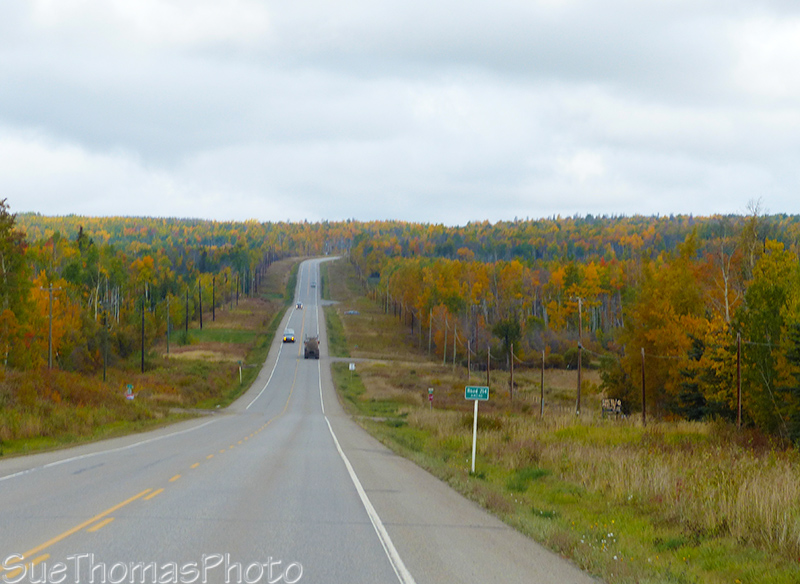
Fall colours as we headed north
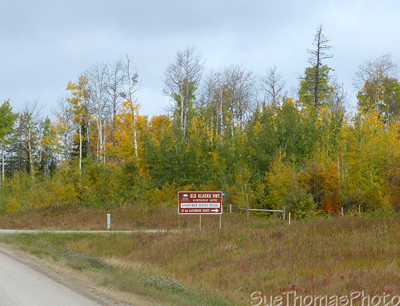
The Old Alaska Highway to the Kiskatinaw bridge historic site
The next image shows the new bridge over the Kiskatinaw River on the new Alaska Highway.

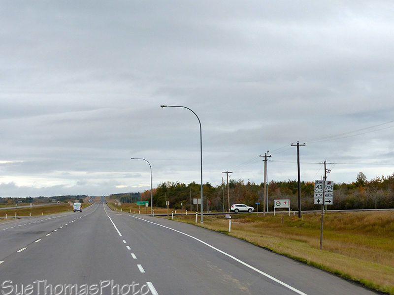
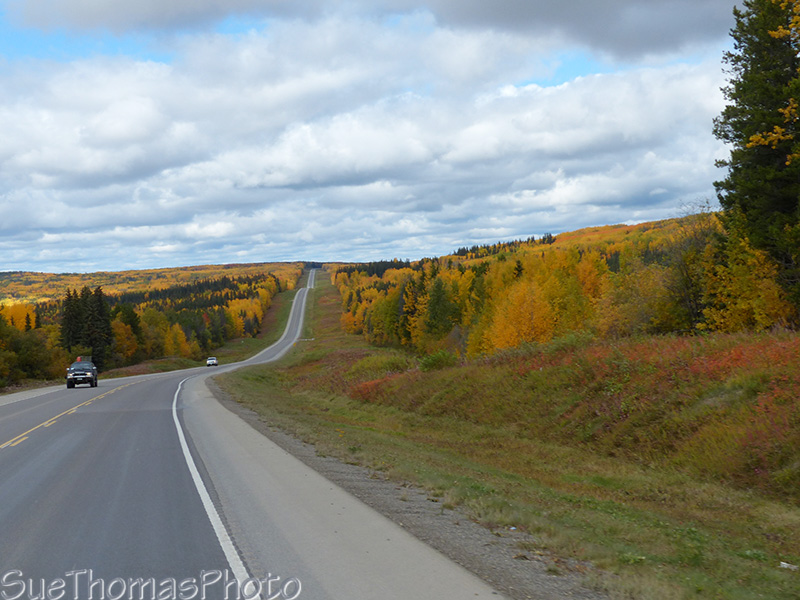
Continuing northward on the Alaska Highway
It is a long descent into Taylor, beside the Peace River. It was a rough construction zone when we went through this year.

Down the hill in a construction zone - to Taylor B.C.
We filled with fuel in Taylor, because it was convenient. Fuel is cheaper in Fort Nelson but we decided to go with the easy in and easy out convenience of Taylor.

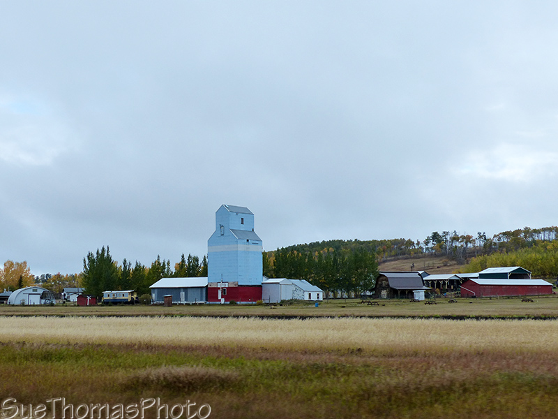
More fall colours
Approaching Wonowon, there are numerous "open camps" along the Alaska Highway. These provide accommodation to the thousands of gas field workers in the area.

These camps are everywhere! For the gas field workers
Love the fall colours this time of year! This is near km 175 of the
Alaska Highway
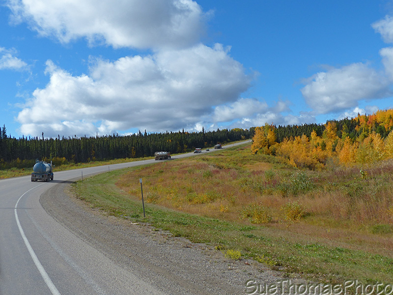
The semi-trucks are working with the gas fields - there are lots of
them on the highway, near km 207
Nearing Pink Mountain, there are more Open Camps. The lodge in the following picture added the trailers in recent years, they weren't there our last time through in 2012.

Another open camp for the workers - km 226
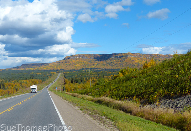
Not far past Pink Mountain, the Rocky Mountain Foothills become visible in the distance.

The Rocky Mountain Foothills ahead
Another distance sign, about km 228 on the Alaska Highway

Sikanni Chief River and campground to the left

Ranchland near Prophet River - km 360
km 372

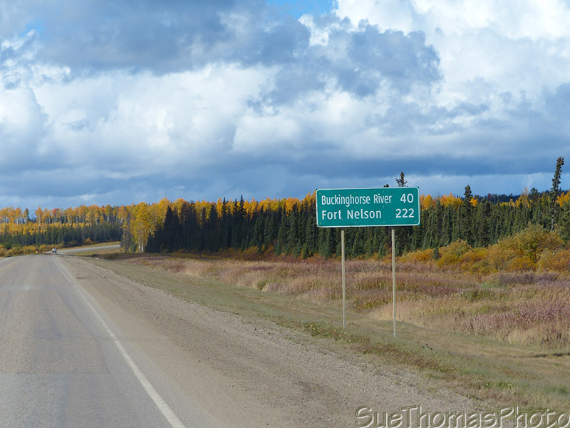
Distance sign, almost at Fort Nelson but another 600 km to Watson
Lake YT

Mountain silhouettes - km 536
We'd put in a long day today. It was time to find a camp spot. We had never camped at the Tetsa River Regional Park (km 551) and took a look.
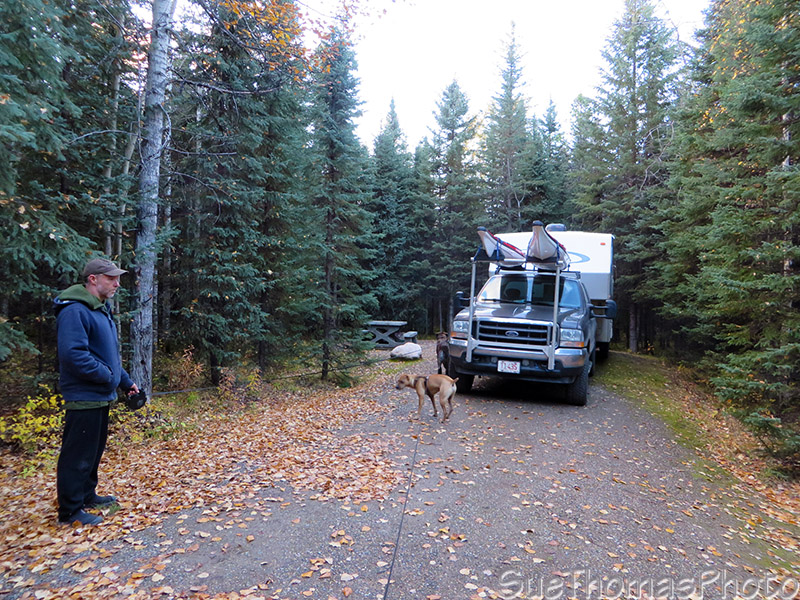
Campsite at Tetsa River Regional Park
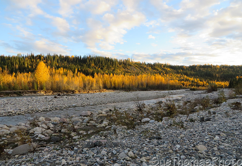
Tetsa River
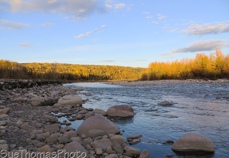
More of Tetsa River

Sign at the Tetsa River Regional Park

We didn't see any bears, or any bear sign
It was quiet evening. Felt good to be back in the wilderness!
Previous page: 11
September 2015
Next page: 15 September 2015