
ALASKA HIGHWAY
Dawson Creek, BC
to Delta, Alaska
YUKON
Map with
Hwy links
Kluane Lake area
Campbell Hwy
Dempster Hwy
Dawson City
Klondike Hwy-North
Klondike Hwy-South
Haines Road
Nahanni Range Rd
Silver Trail
South Canol Road
Top of the World
Hwy
BEARS
Grizzly
/ Black
WILDLIFE
BIRDS
NORTHERN LIGHTS
ALASKA
Taylor Hwy
Denali National Park
McCarthy Road
Richardson Hwy
and more
BRITISH COLUMBIA
Cassiar Highway
Liard Hot
Springs
PLAN YOUR TRIP
Planning Links
Campgrounds/POIs
YUKON sights
2020
2019
2017
2016
2015
2014
2013
2012
2011
RV BLOGS
Vancouver Island
to Yukon & Alaska
2010 Aug & Sept
2009 September
2008 June
2007 September
2001 December
2000 August
1998 December
1997 September
1993 September
Boya Lake Provincial Park (Cassiar Highway) to
Morley Lake (Alaska Highway)
28 August 2009 - Friday
The Yukon border is a short drive from Boya Lake. The highway gets a bit rougher through this area, and there were some road upgrades underway.
Cassiar Highway north of Boya Lake, northbound at km 665
At km 720, travellers are advised they are leaving British Columbia.

Cassiar Highway at the Yukon & BC border
You have two choices at the Alaska Highway. We drove to Watson Lake to fill up with fuel.
Sign at the north end of the Cassiar giving directions on the
Alaska Highway
A must see for many is the sign forest in Watson Lake.
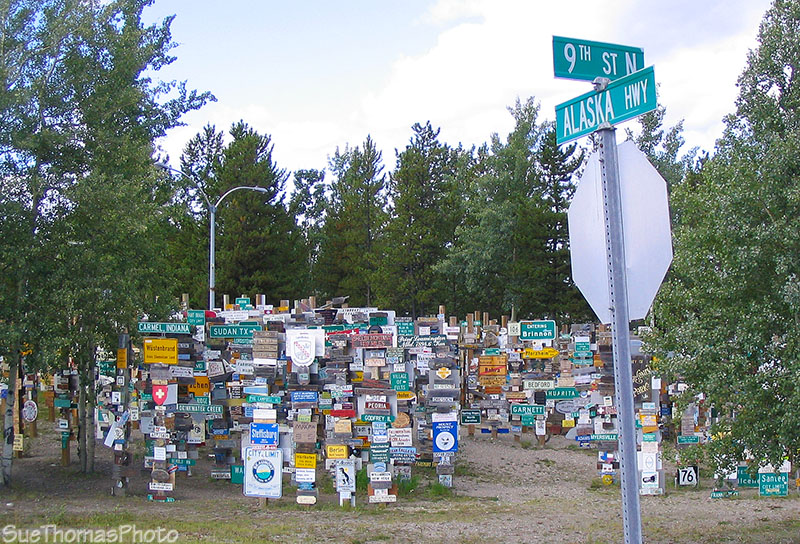
Sign forest at Watson Lake, Yukon
Back on the Alaska Highway, heading north.
Northbound on the Alaska Highway, north of Watson Lake

Northbound on the Alaska Highway
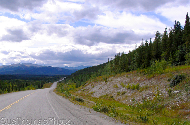
Northbound on the Alaska Highway
Near the Yukon/B.C. border, there is a British Columbia rec site beside Morley Lake. The road is steep, one-lane, and rough. We slowly inched our way to a quiet camp spot beside the lake.

Drycamping at Morley Lake Recreation Site along the Alaska Highway
As always, Jake and Tazz were happy to get out of the truck. Not happy about the leashes though!
Jake and Tazz at Morley Lake campsite