
ALASKA HIGHWAY
Dawson Creek, BC
to Delta, Alaska
YUKON
Map with
Hwy links
Kluane Lake area
Campbell Hwy
Dempster Hwy
Dawson City
Klondike Hwy-North
Klondike Hwy-South
Haines Road
Nahanni Range Rd
Silver Trail
South Canol Road
Top of the World
Hwy
BEARS
Grizzly
/ Black
WILDLIFE
BIRDS
NORTHERN LIGHTS
ALASKA
Taylor Hwy
Denali National Park
McCarthy Road
Richardson Hwy
and more
BRITISH COLUMBIA
Cassiar Highway
Liard Hot
Springs
PLAN YOUR TRIP
Planning Links
Campgrounds/POIs
YUKON sights
2020
2019
2017
2016
2015
2014
2013
2012
2011
RV BLOGS
Vancouver Island
to Yukon & Alaska
2010 Aug & Sept
2009 September
2008 June
2007 September
2001 December
2000 August
1998 December
1997 September
1993 September
Kluane Lake to Beaver Creek YT on the Alaska Highway
Friday 20 June 2008
Leaving the Kathleen Lake campground, we turned towards Haines Junction.
It seemed blue skies were not the theme for this year's trip! Even so, I looked forward touring through my favourite area of the Yukon -- Kluane Lake.
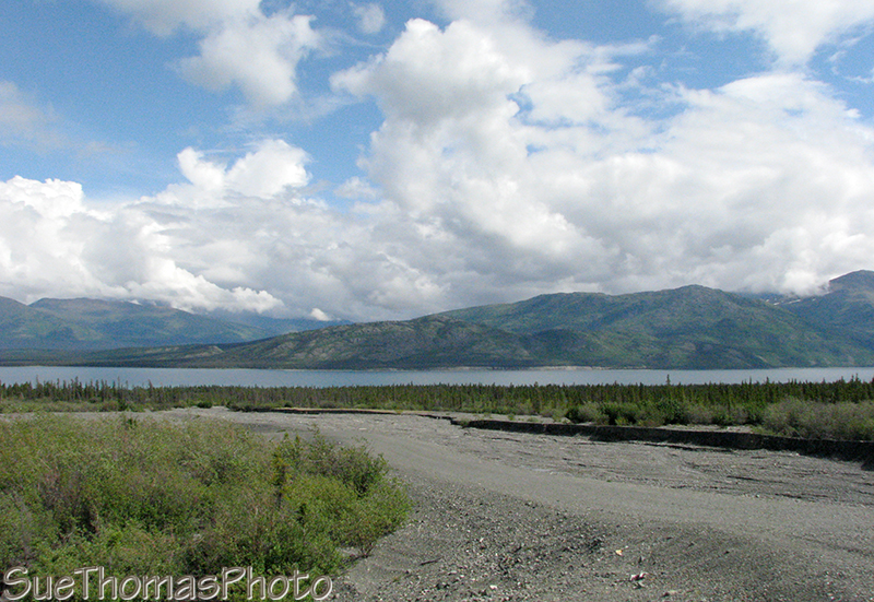
South end of Kluane Lake looking east

Sheep Mountain is popular with Dall sheep and humans
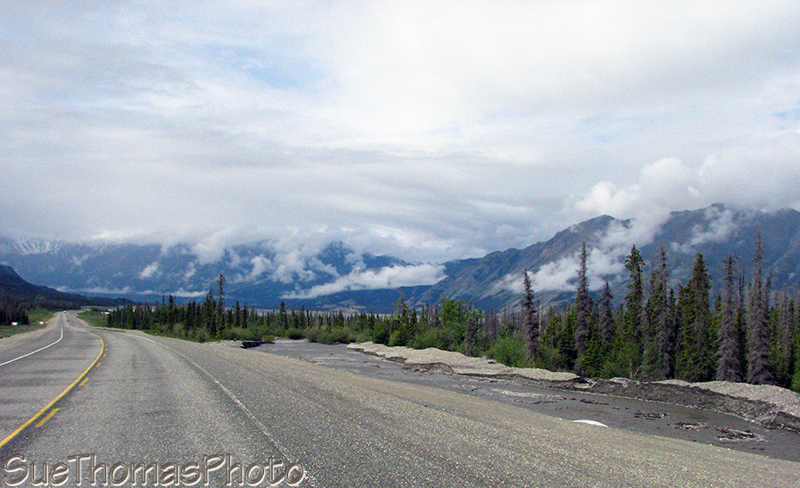
Northbound along the northwest shore of Kluane Lake
North of Destruction Bay and Burwash Landing the road is a slow-go for folk pulling a trailer. We looked forward to construction zones, as the road became smoother even though it was gravel.

The Duke River bridge, just a bit north of Burwash Landing, is being rebuilt

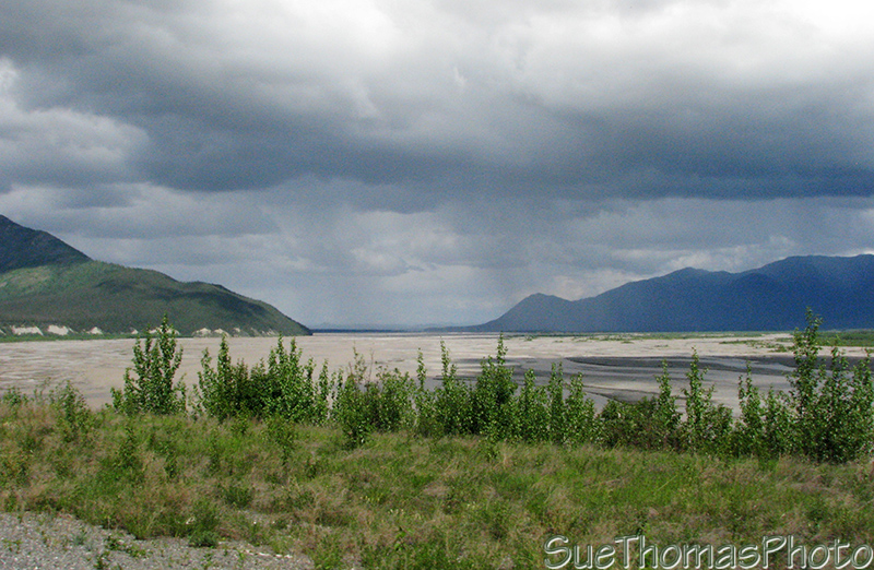
The Donjek River Valley and the Kluane Ranges

Looking east towards the Nisling Range, from where the Donjek River meets the Alaska
Highway
Looking east along the White River, from where it
intersects the Alaska Highway
We arrived in Beaver Creek in mid-afternoon.

Most westerly community in Canada!
After setting up in the Westmark RV Park, we headed out on our bicycles to explore the area. When I was a kid, I often hiked up Red Hill just north of town. The view is worth the climb.

View of Canada Customs and the Nutzotin Mountains from Red Hill
Then we headed back to town to wrap up the evening. We attended the dinner show at the Westmark Inn. It is a great show with plenty of laughs.