
ALASKA HIGHWAY
Dawson Creek, BC
to Delta, Alaska
YUKON
Map with
Hwy links
Kluane Lake area
Campbell Hwy
Dempster Hwy
Dawson City
Klondike Hwy-North
Klondike Hwy-South
Haines Road
Nahanni Range Rd
Silver Trail
South Canol Road
Top of the World
Hwy
BEARS
Grizzly
/ Black
WILDLIFE
BIRDS
NORTHERN LIGHTS
ALASKA
Taylor Hwy
Denali National Park
McCarthy Road
Richardson Hwy
and more
BRITISH COLUMBIA
Cassiar Highway
Liard Hot
Springs
PLAN YOUR TRIP
Planning Links
Campgrounds/POIs
YUKON sights
2020
2019
2017
2016
2015
2014
2013
2012
2011
RV BLOGS
Vancouver Island
to Yukon & Alaska
2010 Aug & Sept
2009 September
2008 June
2007 September
2001 December
2000 August
1998 December
1997 September
1993 September
Beaver Creek and historical site Snag, Yukon
21 June 2008
We visited the Beaver Creek area for a couple of days. Beaver Creek is historical mile 1202, where construction crews made the final
connection of the Alaska Highway on
28 October 1942.
South of Beaver Creek is Snag, an abandoned airfield from the Northwest Staging Route. Snag boasts the record low temperature for North America, set in February 1947: −81.4 F (-63C). The airfield closed in 1968 and the site was been remediated.
According to
Wikipedia, in 1947 the village of Snag boasted
a population of 8 to 10 natives and fur traders. An additional staff of
15-20 airport personnel — meteorologists, radio operators, aircraft maintenance
men — lived at the airport barracks.
My dad, Jack Stalberg, worked in Snag in the early 1950s.
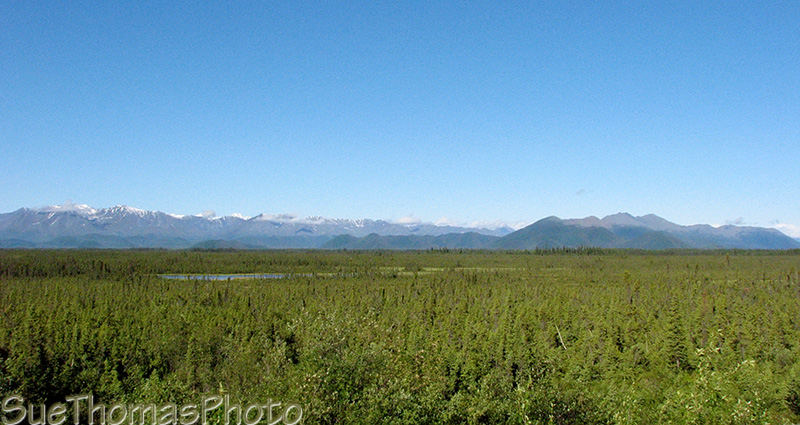
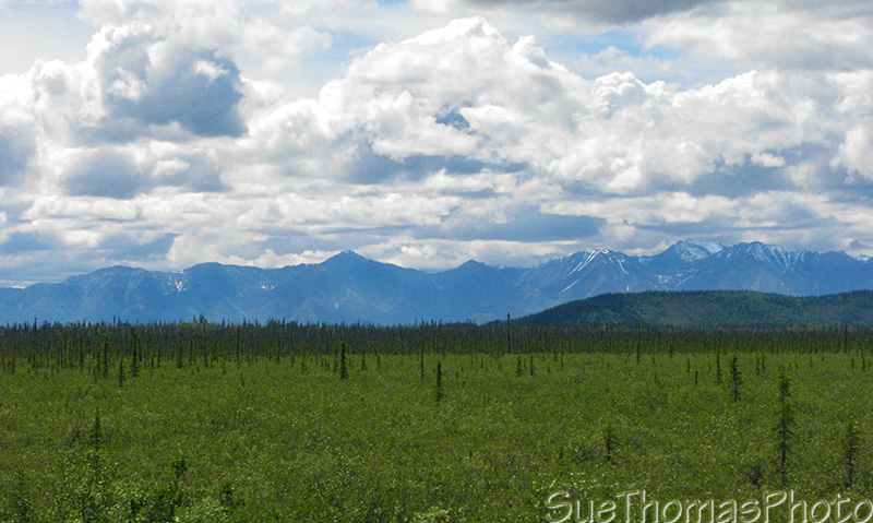
Looking west from the Alaska Highway, headed for Snag
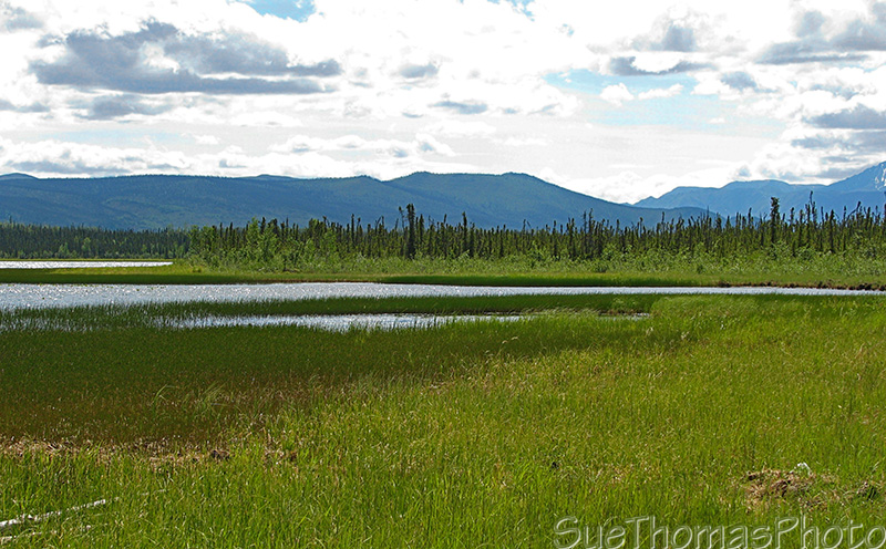
Snag Lake along the Alaska Highway

View from Snag road, looking west towards Nutzotin Mountains - June 2008
The road was in much better condition in 1993 when we visited Snag with my dad. It was also Dad's last visit to the area. This year we were thankful to have a 4x4 truck!
There is not much left in Snag. I later learned that the federal government cleaned the site in the 1990s. The airfield is well overgrown and no longer usable. I think my last landing and takeoff there was in the early 1970s.
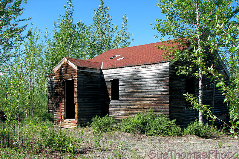
The only remaining building from the Snag Airbase
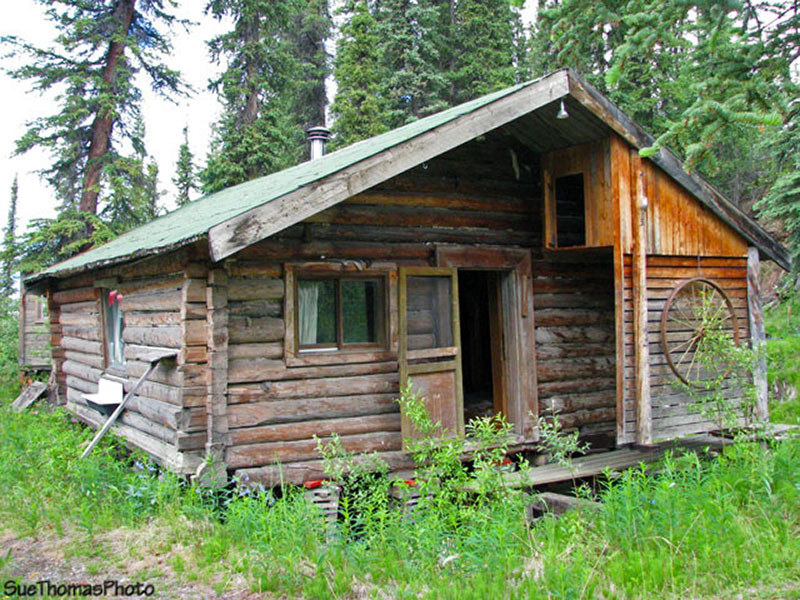
A few miles past Snag is an historical White River First Nation village.
A few buildings remain, as well as a cemetery where I recognized many names.
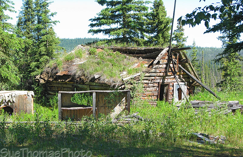
Log cabin at the First Nations village
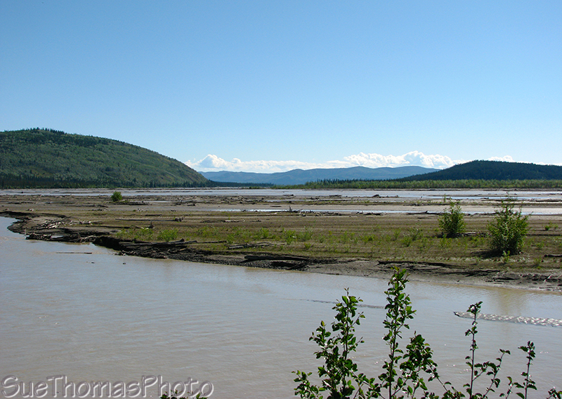
Near Snag Creek where it joins the White River
22 June 2008
We decided to drive towards the Alaska border, although did not plan to cross the border.
Looking west towards the Wrangell Mountains from the Alaska Highway north of Beaver Creek
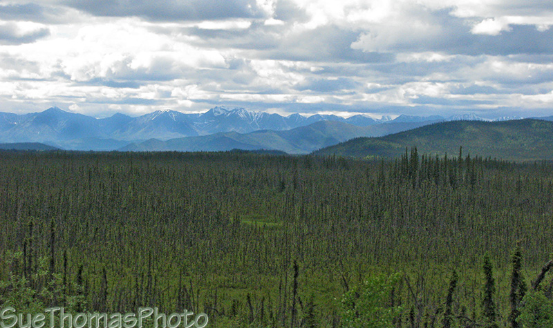
Looking west from the Alaska Highway between Beaver Creek and the Alaska border
When I was young, we visited a fellow named Johnny Hoffman. His cabin was about 15 miles north of our place along the Alaska Highway. I always thought his cabin was a magical place as it had no power and no running water. He used kerosene lanterns and hauled his water by the bucket from the nearby creek. His cabin was cozy, even in the middle of winter. During one visit he let me try on his animal skin parka (don't remember what kind of animal) - wow, that coat was heavy!
After Mr. Hoffman died, another friend assumed ownership of his property. In recent years, the creek flooded and undermined the cabin, which now sits on blocks.
Johnny Hoffman cabin, just off the Alaska Highway near the Alaska border
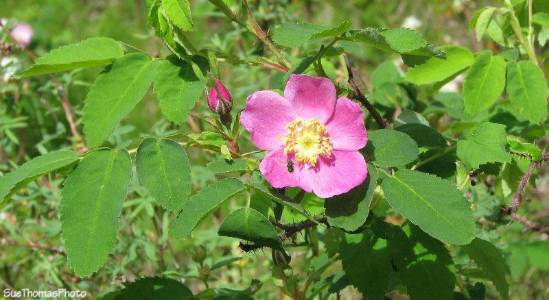
Wild rose at Johnny's cabin
Beaver Creek was the end of the Alaska Highway for us this trip. We were here to spread my Dad's ashes on the longest day of the year and refresh my memories of growing up in this small community. Now it was time to continue exploring the Yukon.
We planned to visit Dawson City. Taking the Top of the World Highway via Alaska would have been the shorter option. However, our 19-year-old unvaccinated cat was with us and we decided to not attempt crossing the Alaska border without her papers in order.
Therefore we headed south again over a rough section of the Alaska Highway -- Beaver Creek to Destruction Bay.